- Charming places
- 2 days
- Free sample
Free sample: from the centre to the south-east in 2 days
So you can see what an Excursia itinerary is like before buying: two full days, with the order of the stops, the times, how to get there, where to eat and a card for each place. The first goes from the centre of the island to Menorca's longest beach and ends with sunset in a cave on the cliff; the second covers the south-east, from Binibeca to the prehistoric caves of Cales Coves, with dinner at the harbour of Cales Fonts. It is the PDF only: the online itinerary and the interactive map come with the paid itineraries.
Free sample: the PDF only
You can read every page here and download the PDF. The online itinerary and the interactive map only come with the paid itineraries.
Overview
- Length
- 2 days
- Spend in Menorca
- €€ · €50–100 per person per dayTickets, activities and meals at the places we suggest, without accommodation or transport. It is separate from the price of the itinerary.
- Getting around
- By car
- Effort
- EasyShort walks and drives of under 30 minutes
- Pace
- Balanced
- Best time
- May to October, when Cova d'en Xoroi and the beach bars are open. From November to March, swap the first day's sunset for the Monte Toro viewpoint and dinner for Maó.
The whole PDF, page by page
This is what an Excursia itinerary looks like inside. Swipe to turn the pages.
 excursiaDiscover, enjoy, come backA 2-day itinerary around Menorca
Free sample: from the centre to the south-east in 2 days
A complete two-day itinerary, free as a PDF: Monte Toro, Torre d'en Galmés, Son Bou, Cova d'en Xoroi, Binibeca and Cales Fonts.
2 daysEasy
Your trip at a glance
A complete two-day itinerary, free as a PDF: Monte Toro, Torre d'en Galmés, Son Bou, Cova d'en Xoroi, Binibeca and Cales Fonts.
The days
- Day1From the centre of the island to the cave on the cliffMonte Toro · Torre d’en Galmés · Son Bou · Cova d’en Xoroi
- Day2The south-east: Binibeca, Cales Coves and Cales FontsBinibeca Vell · Cales Coves · Cales Fonts (Es Castell)
Your trip on the map
Each number is a place, in the order you visit it: you’ll find the same number on the day’s page and on its card.
- 1Monte Toro
- 2Torre d’en Galmés
- 3Son Bou
- 4Cova d’en Xoroi
- 5Binibeca Vell
- 6Cales Coves
- 7Cales Fonts (Es Castell)
- Day 1
From the centre of the island to the cave on the cliff
Centre and south: Es Mercadal and Alaior · About 55 km and 1 h 15 min by car in the whole dayThe whole island from Monte Toro, a 3,000-year-old settlement, Menorca's longest beach and sunset hanging off the cliff.
If it rains: Museu de Menorca in Maó in the morning (closed on Mondays) and, in the afternoon, the Xoriguer distillery on Maó harbour.
09:30–10:30Morning1Monte Toro
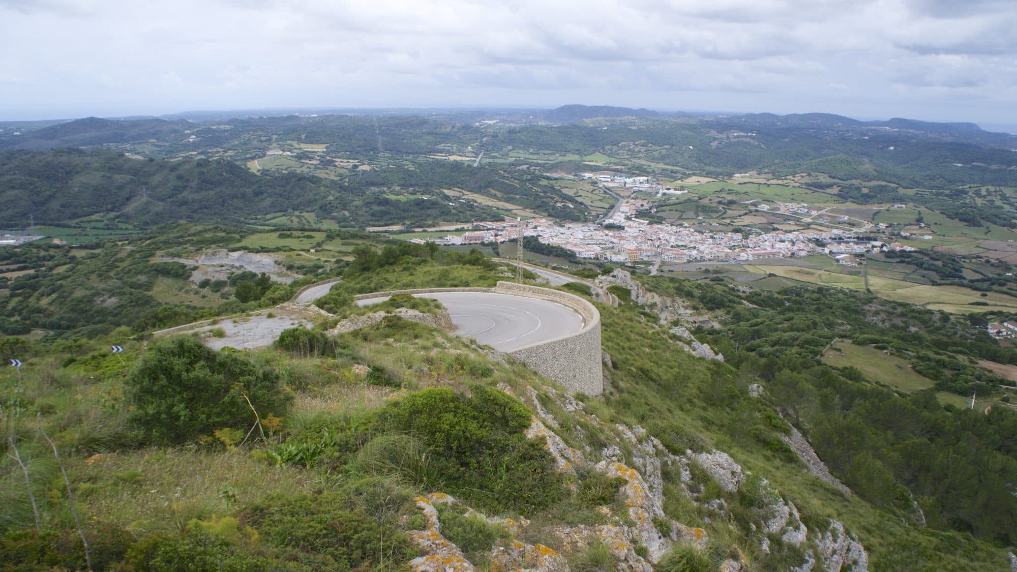
Go up to Menorca's highest point (358 m) to see the whole island before touring it: Fornells bay to the north, the south coast and, on clear days, Mallorca. The sanctuary was built from 1670 on a Gothic church.
How to get there: From Es Mercadal, 10 min by car (3 km) on the Me-13, a narrow, winding road. Free parking at the top.
11:00–12:30Morning2Torre d’en Galmés
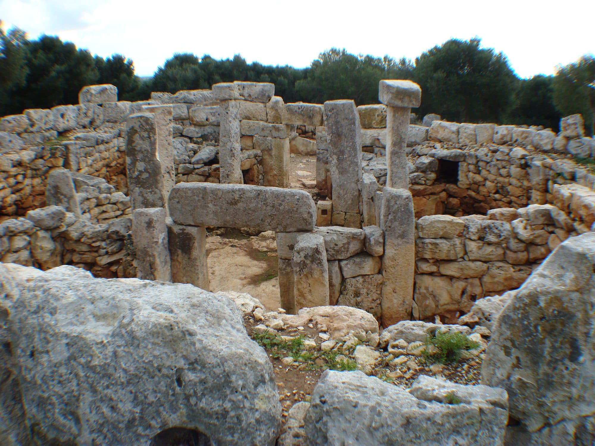
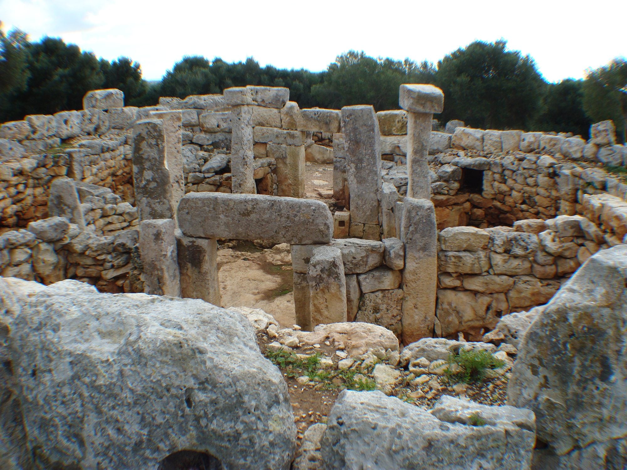
One of the largest talayotic settlements in the Balearics, lived in from the end of the Bronze Age to Roman times: three talayots, the taula enclosure and the houses with their rainwater collection system. Start at the interpretation centre.
How to get there: 25 min by car (19 km) to Alaior and the Son Bou road; the turn-off is signposted. Free parking.
13:00–17:30Midday3Son Bou
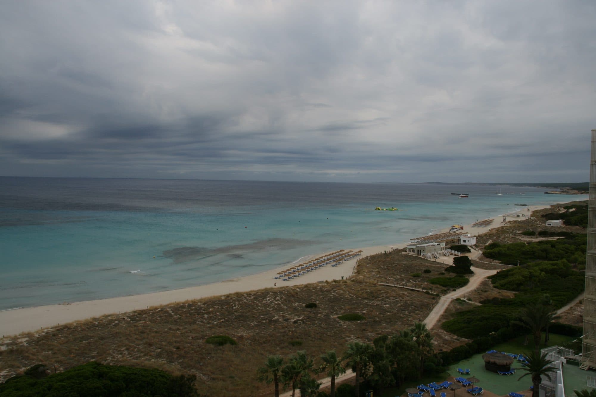
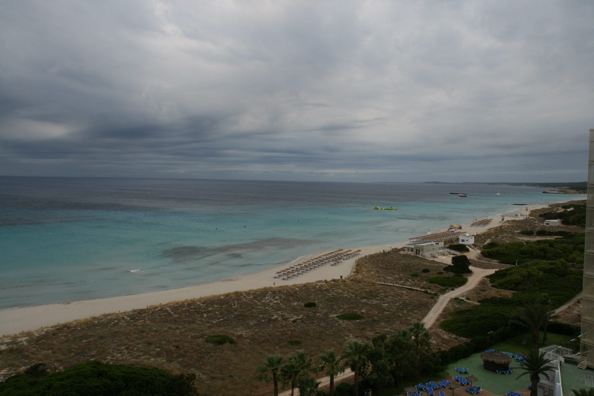
Menorca's longest beach, almost three kilometres of sand with dunes and a wetland behind it. Lunch by the sand and an afternoon swim.
How to get there: 10 min by car (5 km) down towards the coast. Car parks by the beach.
Where to eat: Xiringuito Es Corb Marí · Mai Tai
18:30–21:00Sunset4Cova d’en Xoroi
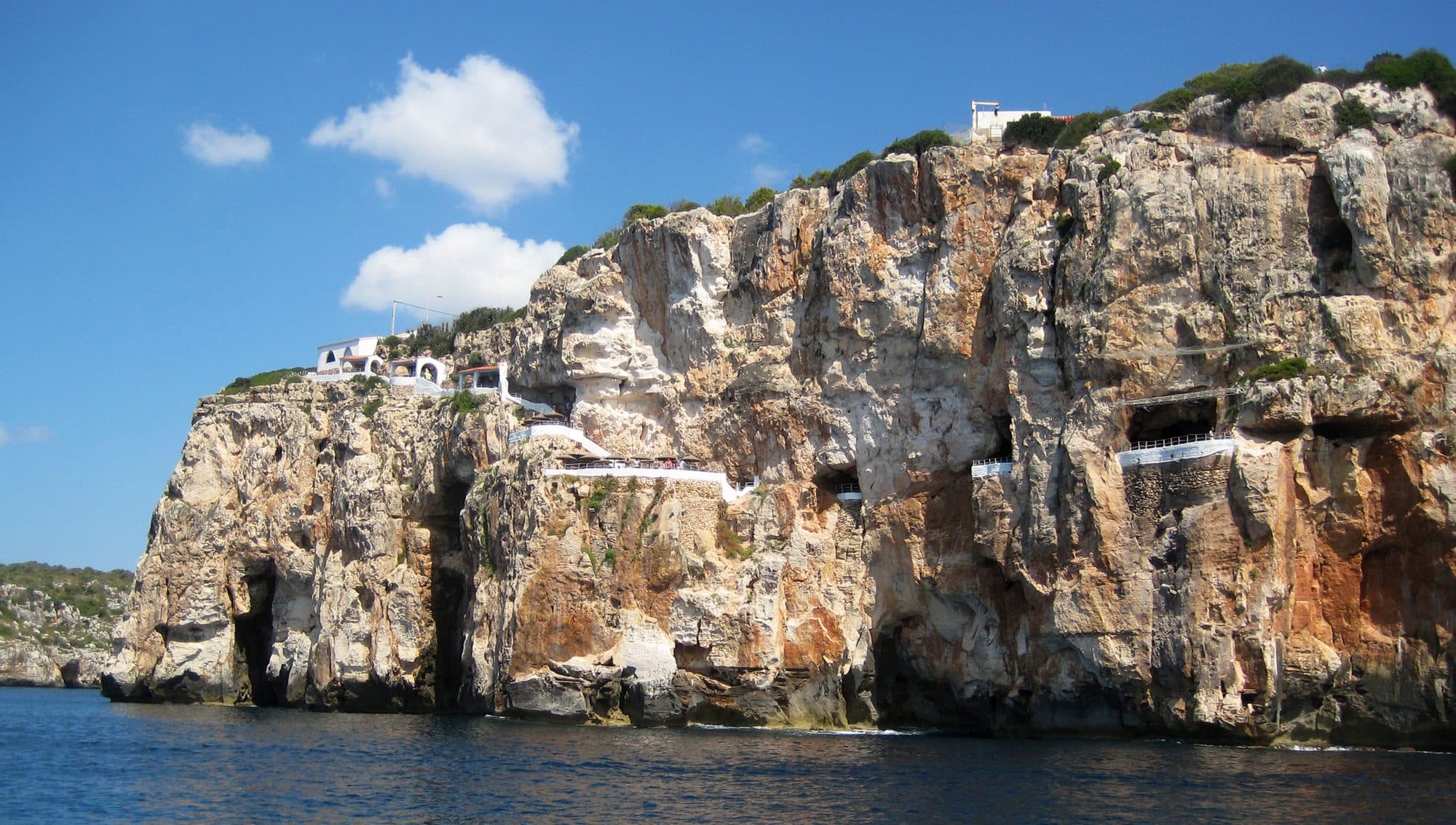
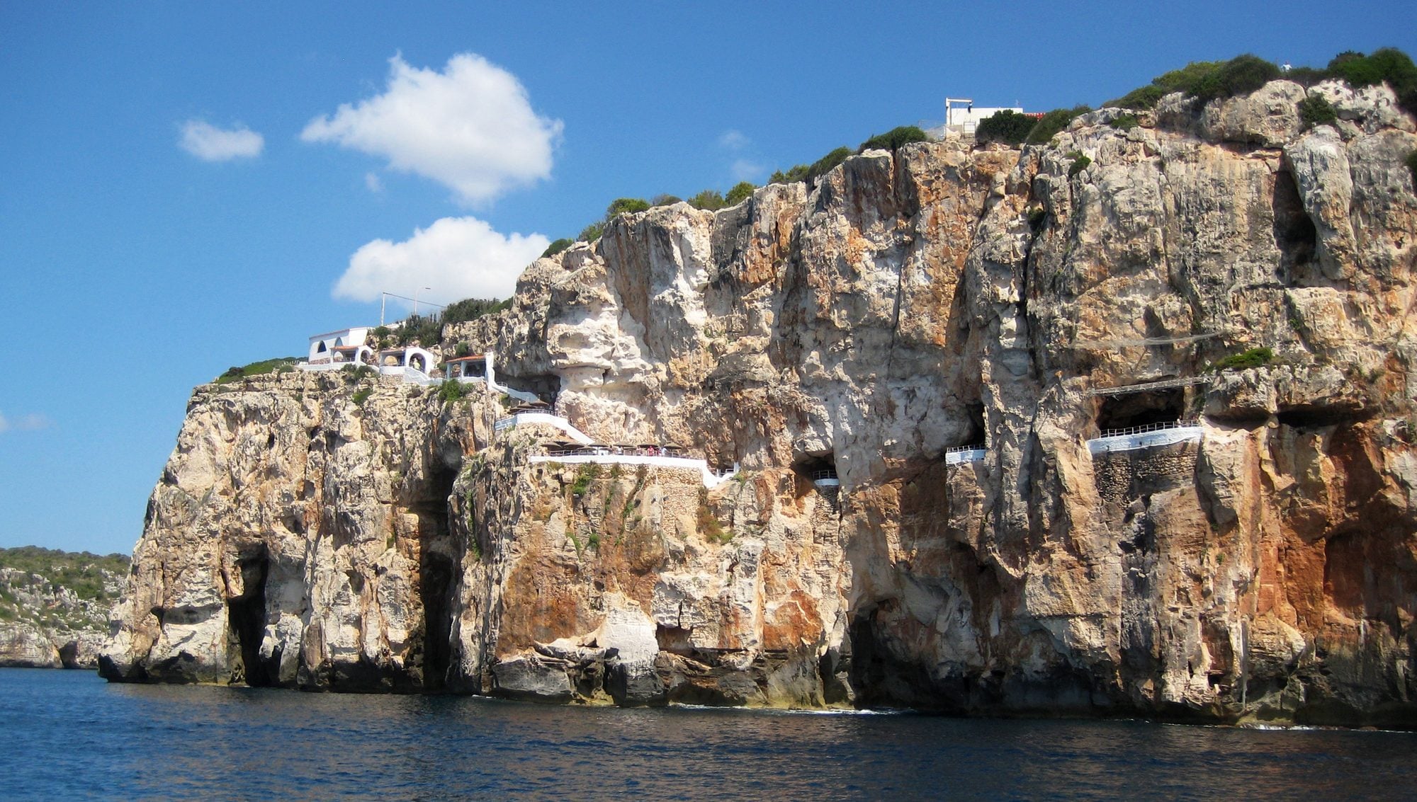
A cocktail on the terraces of a natural cave hanging off the Cala en Porter cliff while the sun sets over the sea. Legend has it the pirate Xoroi lived here.
How to get there: 20 min by car (13 km) to the Cala en Porter resort. Park at the top and walk down.
- Day 2
The south-east: Binibeca, Cales Coves and Cales Fonts
South-east: Sant Lluís, Alaior and Es Castell · About 60 km and 1 h 15 min by car in the whole dayThe most photographed white village, a swim at Binibèquer, the prehistoric caves of Cales Coves and dinner at the fishermen's harbour.
If it rains: La Mola Fortress (partly underground) in the morning and the Mercat des Claustre in Maó for lunch.
10:00–15:30Morning · Midday5Binibeca Vell
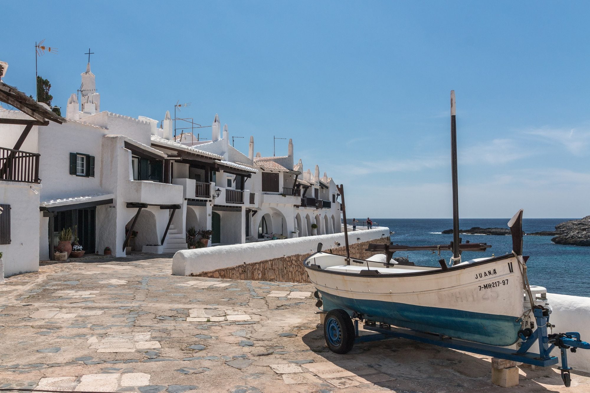
An unhurried stroll through the white lanes of Binibeca Vell. It looks like an old village, but it was designed in 1964 in imitation of Mediterranean fishing villages. People live here: visit quietly.
How to get there: From Maó, 15 min by car (10 km). Park at the entrance: in summer it fills up by mid-morning.
A swim at Binibèquer beach, five minutes' walk away, and lunch facing the sea.
How to get there: On foot from Binibeca Vell (5 min).
Where to eat: Bucaneros · Bambú
16:30–18:30Afternoon6Cales Coves
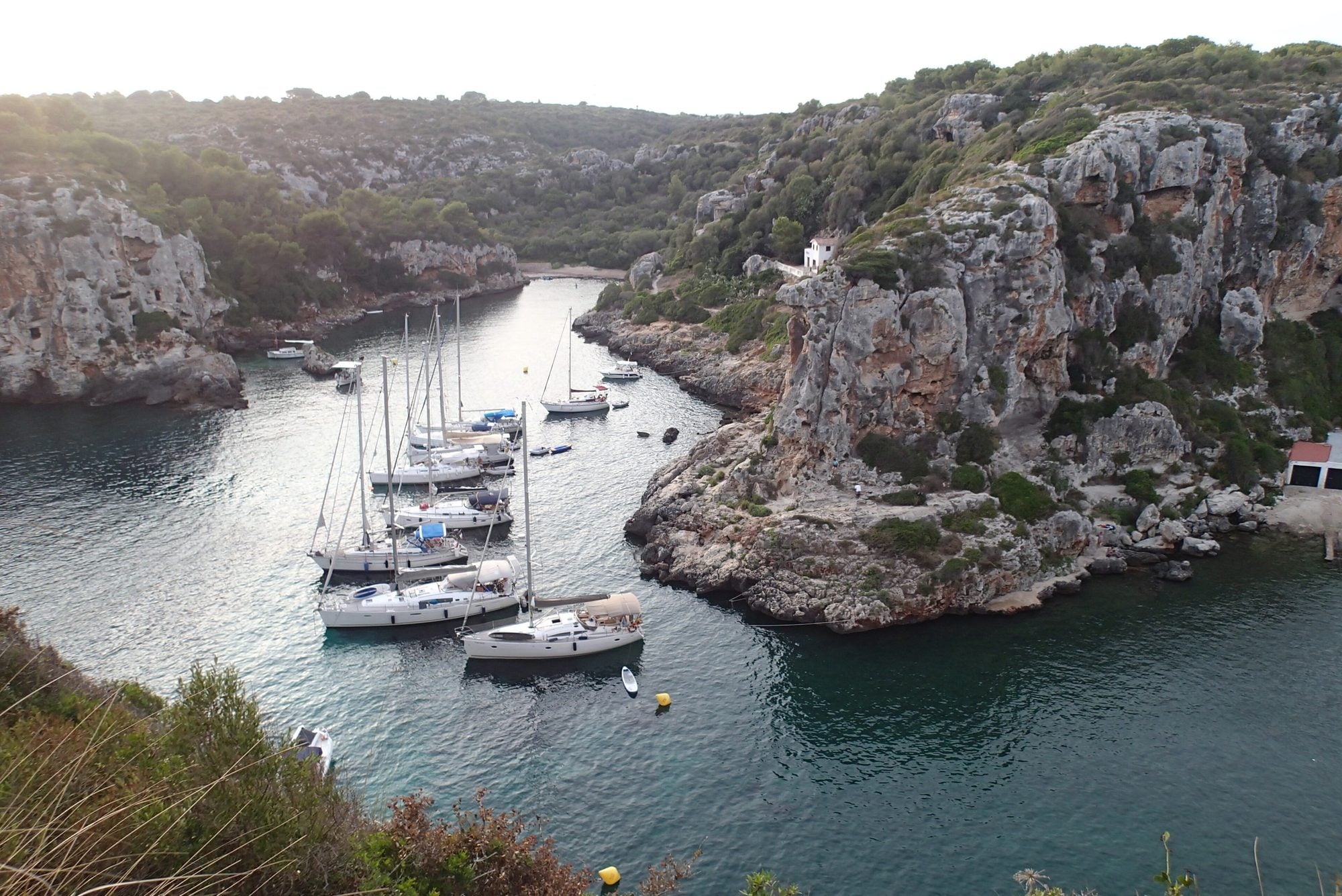
Two coves joined between cliffs, with some 90 caves dug into the rock: Menorca's largest prehistoric necropolis, used from the end of the Bronze Age. You cannot go into the caves. A quiet swim in a cove with no facilities.
How to get there: 25 min by car (22 km) towards Sant Climent; free car park and a 15-min walk along a stony track. Wear closed shoes.
19:30–23:00Sunset7Cales Fonts (Es Castell)
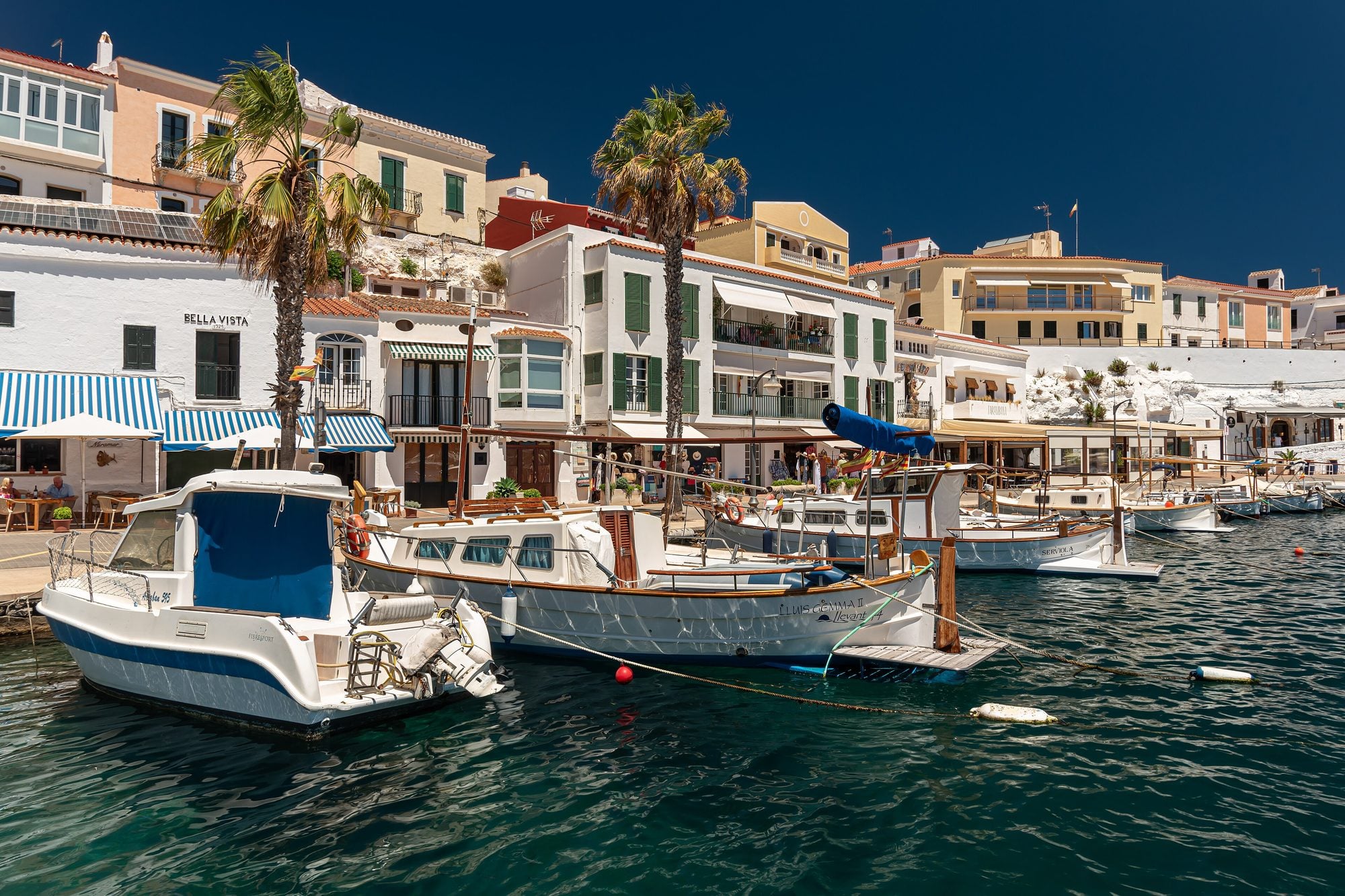
The little harbour of Es Castell, with the old fishermen's caves turned into terraces by the water: a cocktail at sunset and dinner.
How to get there: 25 min by car (20 km). Park in the upper part of Es Castell and walk down.
Where to eat: Sacardiu · Trébol
Charming places · Es Mercadal
1Monte Toro
Menorca’s highest point (358 m), in the centre of the island. At the top are the sanctuary of the Virgin of El Toro and a viewpoint from which you can see almost all of Menorca.
- Location
- 3 km from Es Mercadal along the Me-13 road
- Best time
- First thing in the morning or sunset, with a clear sky
- Admission
- Free.
- Time needed
- 45 minutes.
- By car
- From Es Mercadal, 10 min (3 km) along the Me-13, narrow and winding. Free parking at the top.
- By bus
- The Maó–Ciutadella bus stops in Es Mercadal. From there, a taxi or a 1-hour uphill walk.
History and culture · Alaior
2Torre d’en Galmés
One of the largest Talayotic villages in the Balearics, with three talayots, a taula enclosure, houses and a water-collection system. It has a visitor centre.
- Location
- 5 km south of Alaior
- Best time
- Morning or late afternoon in summer (there’s little shade)
- Admission
- €3 (reduced €1.80; under-8s free). November to Easter, free.
- Time needed
- 1 h 30 min – 2 hours.
- By car
- From Alaior, 10 min (5 km) towards Son Bou. Free parking next to the visitor centre.
- By bus
- No bus goes there. The Son Bou bus passes about 2 km away: better by car or taxi.
Beaches and coves · Alaior
3Son Bou
Menorca’s longest beach, with almost 3 km of sand, dunes and the remains of an early Christian basilica by the shore.
- Location
- South coast of Alaior
- Best time
- All day
- Admission
- Free.
- Time needed
- All day.
- By car
- From Alaior, 10 min (8 km); from Maó, 25 min. Free car parks along the beach.
- By bus
- Line Maó–Alaior–Son Bou, all year round.
Nightlife and leisure · Alaior
4Cova d’en Xoroi
A natural cave halfway down the Cala en Porter cliff turned into a bar with terraces over the sea to watch the sunset, and a club at night.
- Location
- Cala en Porter (Alaior)
- Best time
- Sunset
- Admission
- By day, from €15 (children €8) with one drink; at sunset and at night it costs more. Buy your ticket online.
- Time needed
- 1–2 hours.
- By car
- From Maó, 20 min (15 km) via Sant Climent. Park in the Cala en Porter resort and walk down.
- By bus
- Line Maó–Sant Climent–Cala en Porter. To get back at night, book a taxi.
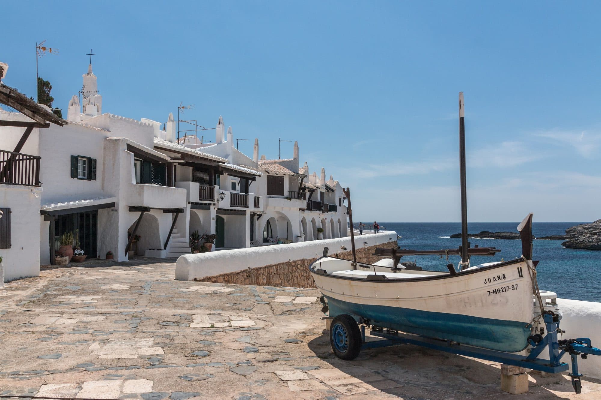
Charming places · Sant Lluís
5Binibeca Vell
A cluster of white houses in the style of a fishing village, built by the sea in the 1960s. Its alleys are among the most photographed in Menorca.
- Location
- South coast of Sant Lluís, 10 km from Maó
- Best time
- Morning, before 11:00
- Admission
- Free.
- Time needed
- 45 minutes – 1 hour.
- By car
- From Maó, 15 min (10 km) along the Me-8 and the Binibèquer road. Parking at the entrance; in summer it fills up around 11:00.
- By bus
- Line Maó–Sant Lluís–Binibèquer (and the loop via Binissafúller), from Maó bus station.
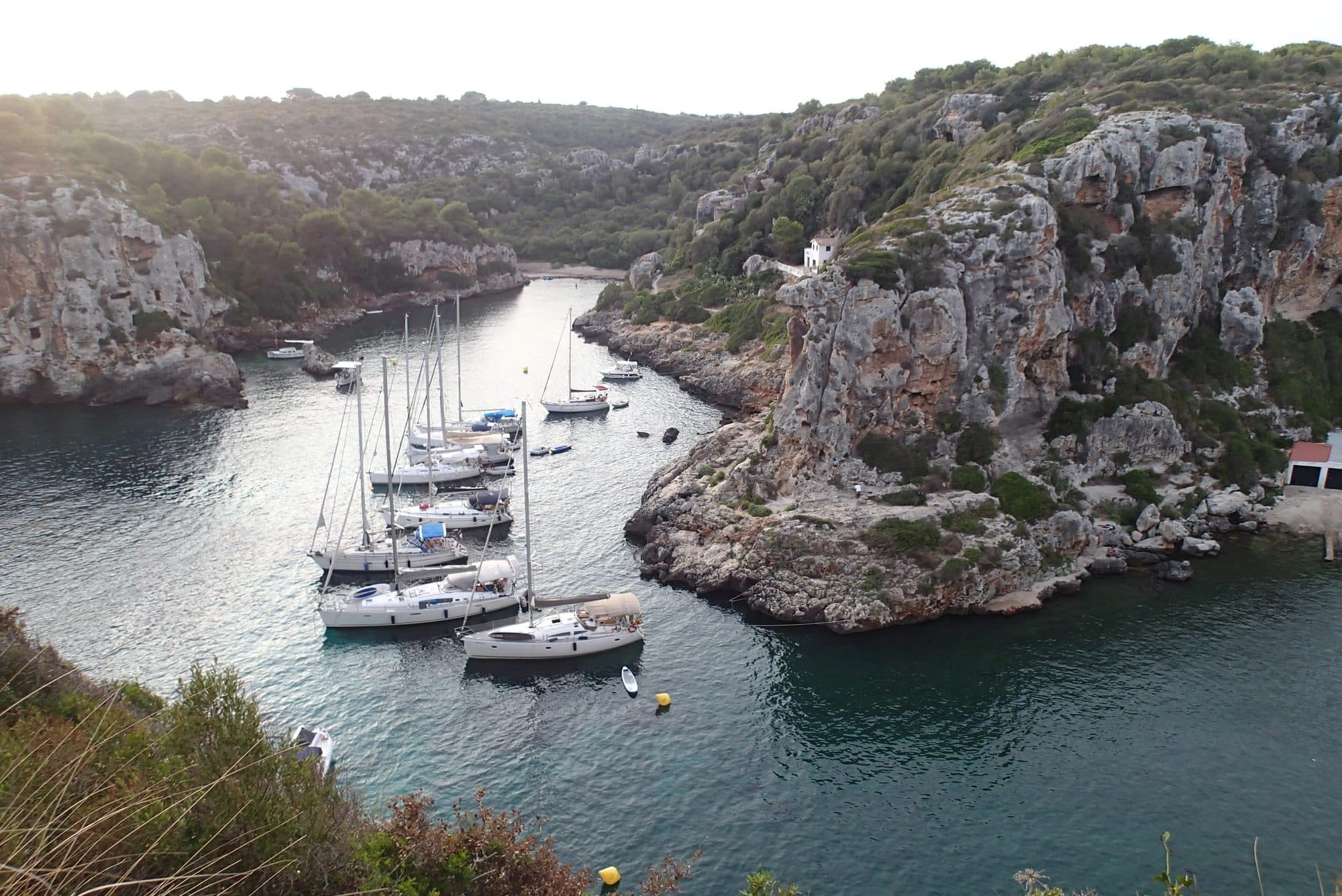
History and culture · Alaior
6Cales Coves
Menorca’s largest prehistoric necropolis: about 90 burial caves carved into the cliffs of two joined coves, reached on foot.
- Location
- Between Sant Climent and Cala en Porter
- Best time
- Morning or afternoon
- Admission
- Free.
- Time needed
- 1–3 hours, longer if you swim.
- By car
- From Maó, 20 min (15 km) via Sant Climent to the Son Vitamina roundabout. Free parking and a 15-minute walk.
- By bus
- No direct bus. The nearest is the Maó–Sant Climent–Cala en Porter line; take a taxi from there.
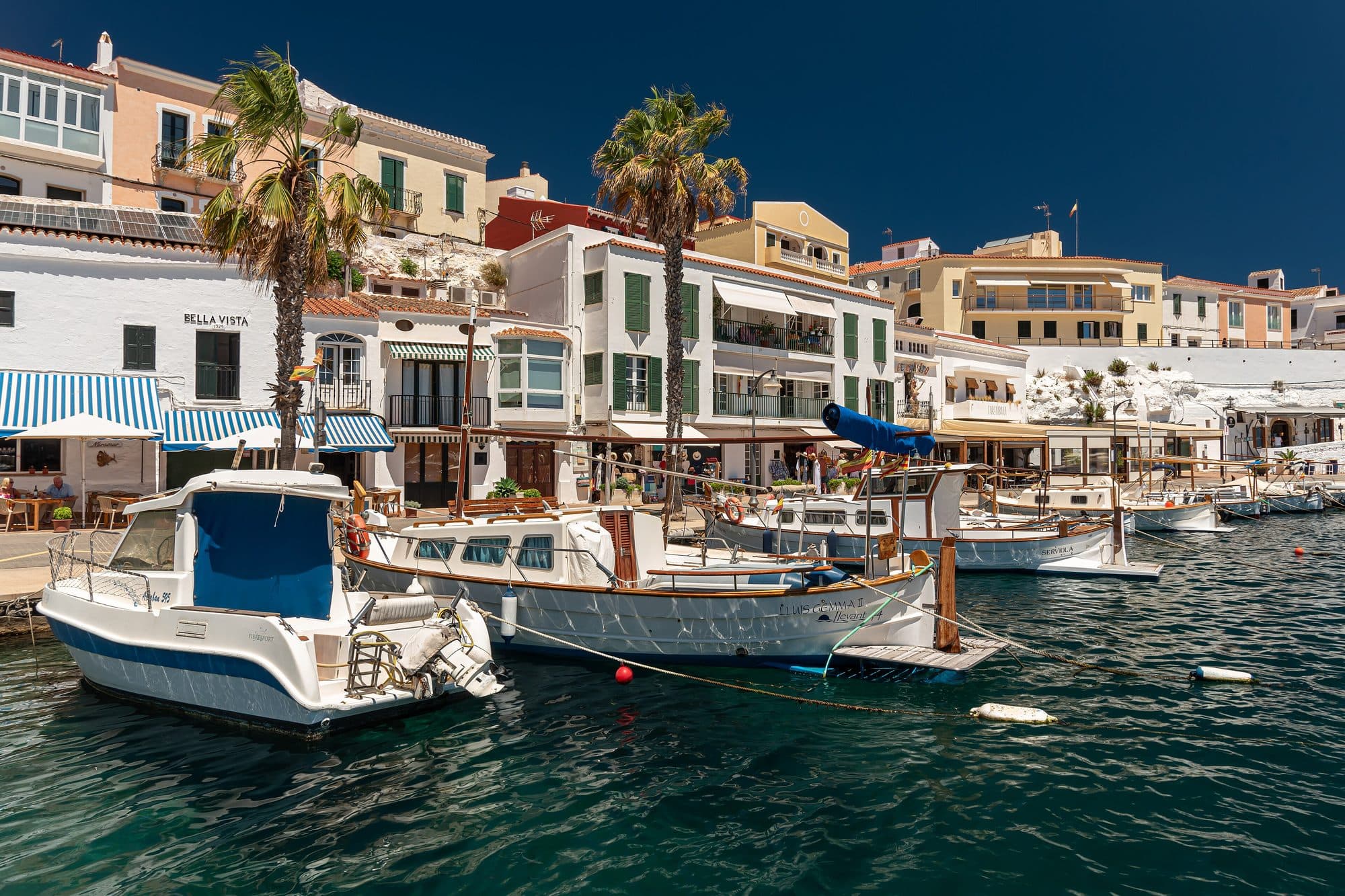
Charming places · Es Castell
7Cales Fonts (Es Castell)
The little harbour of Es Castell, at the mouth of Maó harbour: old fishermen’s caves turned into restaurants with tables by the water.
- Location
- Es Castell, 3 km from Maó
- Best time
- Sunset and dinner
- Admission
- Free.
- Time needed
- 1–2 hours (a stroll and dinner).
- By car
- From Maó, 8 min (3 km). In summer, park in the upper part of Es Castell and walk down.
- By bus
- Line Maó–Es Castell, with frequent departures from Maó town centre.
Before you set off
How to use this itinerary
- Times are a guide: they help you link the stops without rushing, not a schedule you must keep.
- Each day stays in one area of the island, so you never cross it twice.
- If a restaurant is full or closed, there are other options nearby in the same slot.
- If it rains, every day has an indoor alternative.
- Your online itinerary (the link in the email) lets you mark each place as visited or not.
Useful phone numbers
- 112
- Emergencies
- 061
- Medical emergencies
- 091
- National Police
- 062
- Guardia Civil
- 900 202 202
- Sea rescue
- 971 487 000
- Mateu Orfila Hospital (Maó)
- 971 367 111
- Radio Taxi Menorca: Maó, Sant Lluís, Es Castell
- 971 482 222
- Radio Taxi Menorca: Ciutadella, Ferreries
- excursiaDiscover, enjoy, come back
Have a great trip!
We hope you enjoy Menorca as much as we do. If something has changed (a timetable, a closure, access), write to us and we’ll correct it for the next travellers.
It is the same PDF you download, with the same details.
Itinerary
Day 1From the centre of the island to the cave on the cliff
Morning
09:30–10:30
Es Mercadal
Morning
11:00–12:30
Alaior
Midday
13:00–17:30
Alaior
Sunset
18:30–21:00
Alaior
Day 2The south-east: Binibeca, Cales Coves and Cales Fonts
Morning · Midday
10:00–15:30
Sant Lluís
Afternoon
16:30–18:30
Alaior
Sunset
19:30–23:00
Es Castell
Places you’ll visit
Tap a place to see its card.
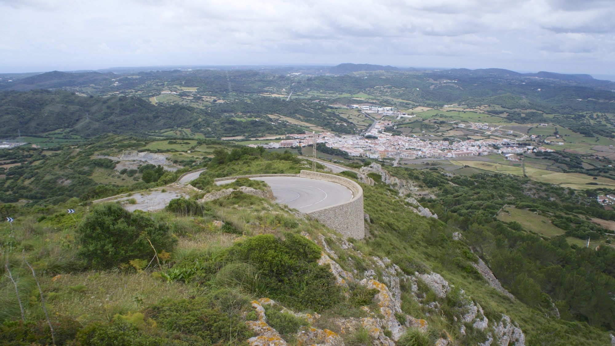
Charming places
Menorca’s highest point (358 m), in the centre of the island. At the top are the sanctuary of the Virgin of El Toro and a viewpoint from which you can see almost all of Menorca.
History and culture
One of the largest Talayotic villages in the Balearics, with three talayots, a taula enclosure, houses and a water-collection system. It has a visitor centre.
Beaches and coves
Menorca’s longest beach, with almost 3 km of sand, dunes and the remains of an early Christian basilica by the shore.
Nightlife and leisure
A natural cave halfway down the Cala en Porter cliff turned into a bar with terraces over the sea to watch the sunset, and a club at night.
Charming places
A cluster of white houses in the style of a fishing village, built by the sea in the 1960s. Its alleys are among the most photographed in Menorca.
History and culture
Menorca’s largest prehistoric necropolis: about 90 burial caves carved into the cliffs of two joined coves, reached on foot.
Charming places
The little harbour of Es Castell, at the mouth of Maó harbour: old fishermen’s caves turned into restaurants with tables by the water.
What’s included
- A plan for both days with approximate times
- How to get from one stop to the next: time, distance and parking
- Where to eat in each area
- An alternative plan for rainy days
- A card for each place and a numbered map of the stops