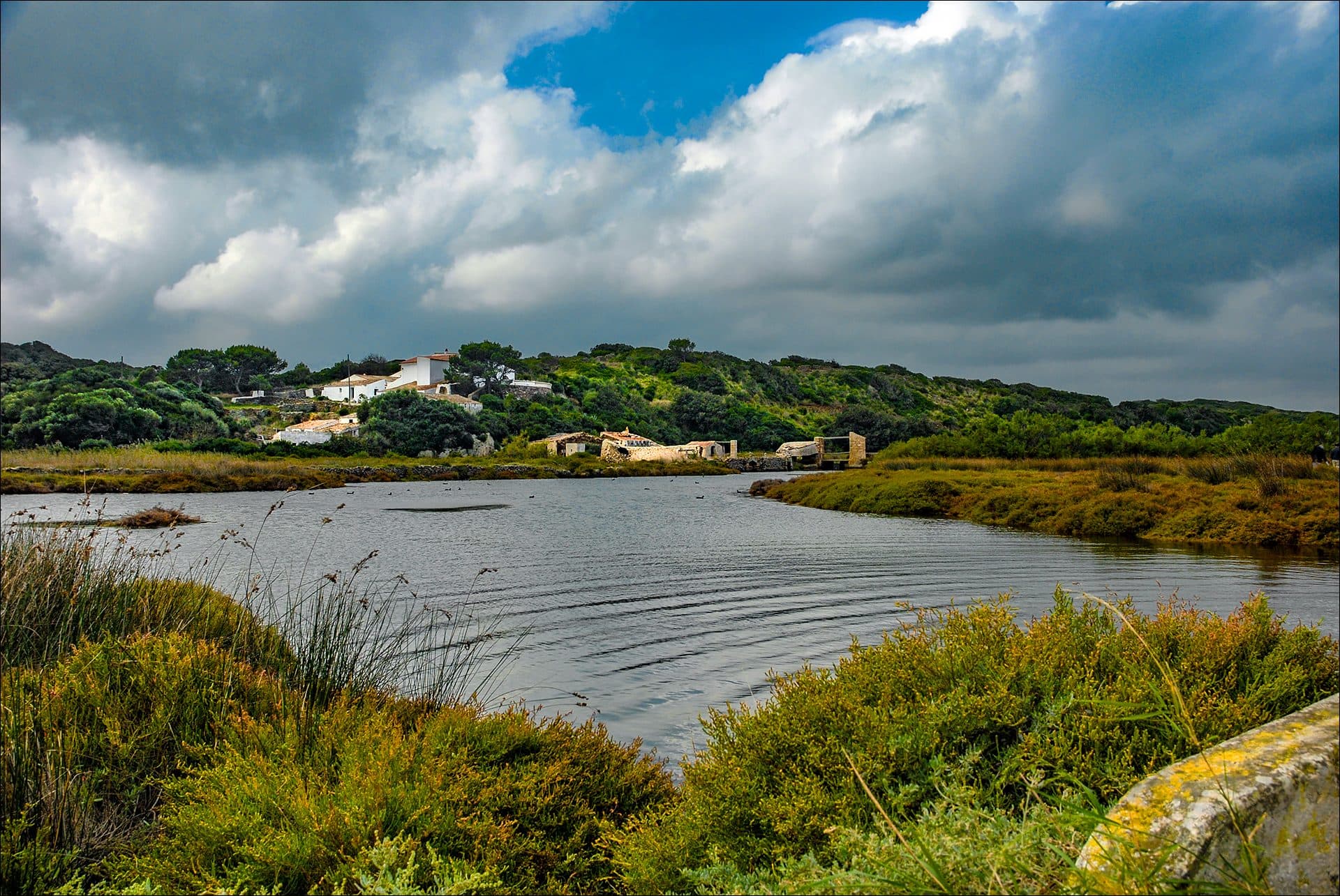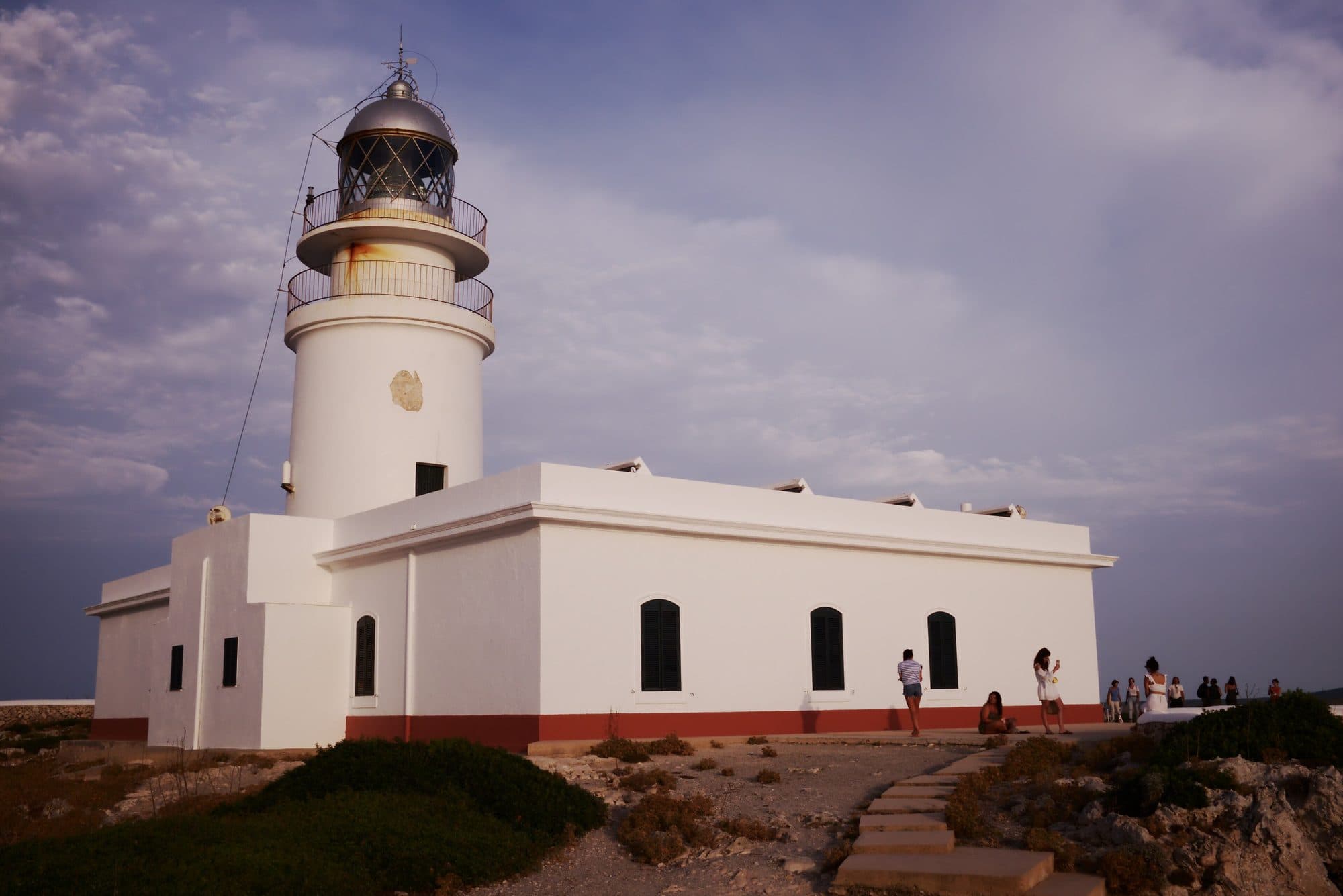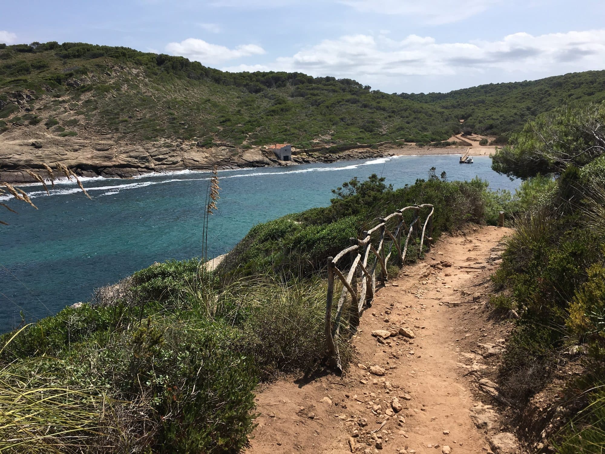
The path
It began as a coastal watch path, ridden on horseback to defend the island. Today it’s waymarked with wooden posts and divided into 20 stages of varying difficulty.
The southern stages (Cala Galdana–Macarella–Turqueta) are the most visited; the northern ones are wilder, with more climbing.
Tips
There’s little shade and no reliable water: carry at least 1.5 litres per person, a hat and hiking shoes. Avoid the middle of the day in summer.
The 20 stages of the Camí de Cavalls
The official trail is split into 20 stages of 5.4 to 13.5 km. It starts and ends in Maó and runs along the north coast first, the one with the most climbs: the hardest stage is 6 (Binimel·là–Els Alocs), with 379 m of ascent. The flattest are in the west and south-east, 9 to 11 and 18 to 20.
Stage 1: Maó – Es Grau
- Distance
- 10 km
- Ascent
- +244 m
- Approximate time
- 3 h 30 min
- Difficulty
- Moderate
Stage 2: Es Grau – Favàritx
- Distance
- 8.5 km
- Ascent
- +197 m
- Approximate time
- 3 h 30 min
- Difficulty
- Moderate
Stage 3: Favàritx – Arenal d’en Castell
- Distance
- 13.5 km
- Ascent
- +284 m
- Approximate time
- 5 h
- Difficulty
- Moderate
Stage 4: Arenal d’en Castell – Cala Tirant
- Distance
- 10.8 km
- Ascent
- +154 m
- Approximate time
- 4 h
- Difficulty
- Easy
Stage 5: Cala Tirant – Binimel·là
- Distance
- 9.5 km
- Ascent
- +235 m
- Approximate time
- 4 h
- Difficulty
- Moderate
Stage 6: Binimel·là – Els Alocs
- Distance
- 8.8 km
- Ascent
- +379 m
- Approximate time
- 5 h
- Difficulty
- Hard
Stage 7: Els Alocs – Algaiarens
- Distance
- 9.6 km
- Ascent
- +304 m
- Approximate time
- 4 h 30 min
- Difficulty
- Moderate
Stage 8: Algaiarens – Cala Morell
- Distance
- 5.4 km
- Ascent
- +150 m
- Approximate time
- 2 h 10 min
- Difficulty
- Moderate
Stage 9: Cala Morell – Punta Nati
- Distance
- 7 km
- Ascent
- +128 m
- Approximate time
- 3 h
- Difficulty
- Easy
Stage 10: Punta Nati – Ciutadella
- Distance
- 10.5 km
- Ascent
- +137 m
- Approximate time
- 4 h
- Difficulty
- Easy
Stage 11: Ciutadella – Cap d’Artrutx
- Distance
- 13 km
- Ascent
- +99 m
- Approximate time
- 5 h
- Difficulty
- Easy
Stage 12: Cap d’Artrutx – Cala en Turqueta
- Distance
- 13.2 km
- Ascent
- +122 m
- Approximate time
- 5 h
- Difficulty
- Moderate
Stage 13: Cala en Turqueta – Cala Galdana
- Distance
- 6.4 km
- Ascent
- +172 m
- Approximate time
- 2 h 30 min
- Difficulty
- Easy
Stage 14: Cala Galdana – Sant Tomàs
- Distance
- 10.4 km
- Ascent
- +216 m
- Approximate time
- 4 h 30 min
- Difficulty
- Moderate
Stage 15: Sant Tomàs – Son Bou
- Distance
- 6.4 km
- Ascent
- +117 m
- Approximate time
- 2 h 30 min
- Difficulty
- Easy
Stage 16: Son Bou – Cala en Porter
- Distance
- 7.9 km
- Ascent
- +170 m
- Approximate time
- 3 h 30 min
- Difficulty
- Moderate
Stage 17: Cala en Porter – Binissafúller
- Distance
- 11.6 km
- Ascent
- +182 m
- Approximate time
- 4 h 30 min
- Difficulty
- Easy
Stage 18: Binissafúller – Punta Prima
- Distance
- 8.1 km
- Ascent
- +96 m
- Approximate time
- 3 h 30 min
- Difficulty
- Easy
Stage 19: Punta Prima – Cala de Sant Esteve
- Distance
- 7.2 km
- Ascent
- +74 m
- Approximate time
- 2 h 40 min
- Difficulty
- Easy
Stage 20: Cala de Sant Esteve – Maó
- Distance
- 6 km
- Ascent
- +88 m
- Approximate time
- 2 h 20 min
- Difficulty
- Easy
Distance and ascent: Consell Insular de Menorca (camidecavalls.com). Times and difficulty are a guide, walking without stops.
Source: Consell Insular de Menorca (Camí de Cavalls). Opening hours change every season: check them before you go.